
Santa María Amajac topographic map
Interactive map
Click on the map to display elevation.
About this map
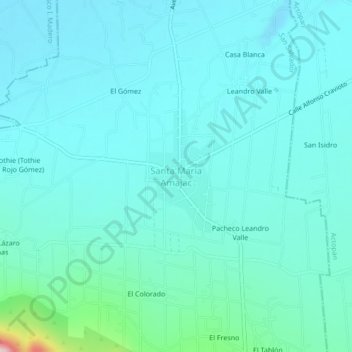
Name: Santa María Amajac topographic map, elevation, terrain.
Location: Santa María Amajac, San Salvador, Hidalgo, Mexico (20.20861 -99.01861 20.24861 -98.97861)
Average elevation: 6,637 ft
Minimum elevation: 6,503 ft
Maximum elevation: 7,520 ft