
Darbonne topographic map
Interactive map
Click on the map to display elevation.
About this map
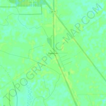
Name: Darbonne topographic map, elevation, terrain.
Location: Darbonne, St. Landry Parish, Louisiana, USA (30.58547 -91.89956 30.62547 -91.85956)
Average elevation: 26 ft
Minimum elevation: 3 ft
Maximum elevation: 36 ft