
Port Royal topographic map
Interactive map
Click on the map to display elevation.
About this map
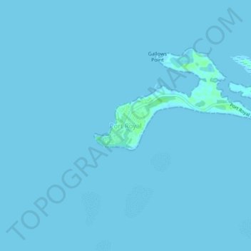
Name: Port Royal topographic map, elevation, terrain.
Location: Port Royal, Saint Andrew, Surrey County, KINGSTON 1, Jamaica (17.91608 -76.86180 17.95608 -76.82180)
Average elevation: 0 ft
Minimum elevation: -7 ft
Maximum elevation: 23 ft