
Stacy Mountain topographic map
Interactive map
Click on the map to display elevation.
About this map
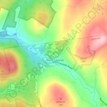
Name: Stacy Mountain topographic map, elevation, terrain.
Average elevation: 686 ft
Minimum elevation: 387 ft
Maximum elevation: 1,007 ft
Other topographic maps
Click on a map to view its topography, its elevation and its terrain.
Stoddard Hill
USA > Massachusetts > Leverett
Stoddard Hill, Leverett, Franklin, Massachusetts, 01351, USA
Average elevation: 584 ft