
Duran topographic map
Interactive map
Click on the map to display elevation.
About this map
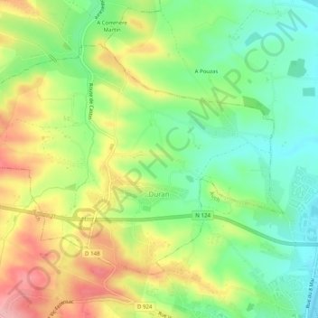
Name: Duran topographic map, elevation, terrain.
Location: Duran, Auch, Gers, Occitania, Metropolitan France, 32810, France (43.65892 0.53766 43.68499 0.58728)
Average elevation: 614 ft
Minimum elevation: 410 ft
Maximum elevation: 889 ft