
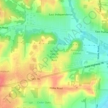
George Owens Nature Park topographic map
Interactive map
Click on the map to display elevation.
About this map
Name: George Owens Nature Park topographic map, elevation, terrain.
Average elevation: 850 ft
Minimum elevation: 748 ft
Maximum elevation: 955 ft