
Laguna Calancayo topographic map
Interactive map
Click on the map to display elevation.
About this map
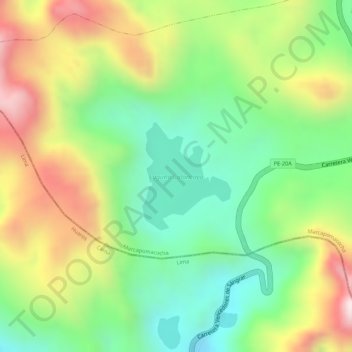
Name: Laguna Calancayo topographic map, elevation, terrain.
Location: Laguna Calancayo, PE-20A, Huaros, Canta, Lima, Perú (-11.34511 -76.44489 -11.33683 -76.43790)
Average elevation: 15,522 ft
Minimum elevation: 14,820 ft
Maximum elevation: 16,407 ft
Other topographic maps
Click on a map to view its topography, its elevation and its terrain.
Cascada Pomora
Cascada Pomora, Huaros, Provincia de Canta, Lima, Perú
Average elevation: 14,360 ft