
Potholes topographic map
Interactive map
Click on the map to display elevation.
About this map
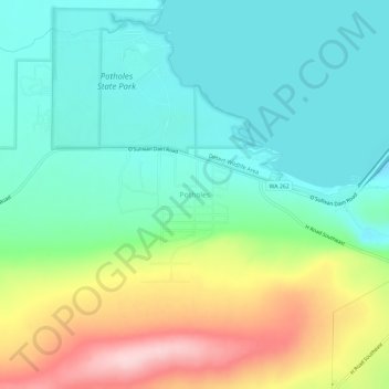
Name: Potholes topographic map, elevation, terrain.
Location: Potholes, Grant County, Washington, USA (46.94604 -119.36381 46.98604 -119.32381)
Average elevation: 1,227 ft
Minimum elevation: 988 ft
Maximum elevation: 1,749 ft