
Água de Pau topographic map
Interactive map
Click on the map to display elevation.
About this map
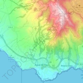
Name: Água de Pau topographic map, elevation, terrain.
Location: Água de Pau, Lagoa, São Miguel, Azores, Portugal (37.70642 -25.55131 37.76939 -25.49107)
Average elevation: 958 ft
Minimum elevation: 0 ft
Maximum elevation: 3,091 ft
Celebrations to honor the elevation of Água de Pau to the status of villa, on July 28, are also popular in the community and celebrated in the Largo de São Tiago and Casa da Junta (the parish house).