
Stub Hill topographic map
Interactive map
Click on the map to display elevation.
About this map
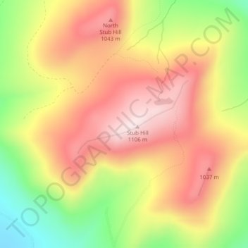
Name: Stub Hill topographic map, elevation, terrain.
Location: Stub Hill, Pittsburg, Coös County, New Hampshire, USA (45.10694 -71.09985 45.10704 -71.09975)
Average elevation: 2,982 ft
Minimum elevation: 2,185 ft
Maximum elevation: 3,599 ft