
Cottbus topographic map
Interactive map
Click on the map to display elevation.
About this map
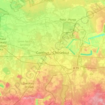
Name: Cottbus topographic map, elevation, terrain.
Location: Cottbus, Brandenburg, 03046, Duitsland (51.59674 14.17573 51.91674 14.49573)
Average elevation: 259 ft
Minimum elevation: 36 ft
Maximum elevation: 591 ft