
Dickinson topographic map
Interactive map
Click on the map to display elevation.
About this map
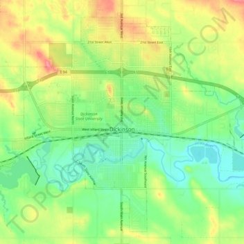
Name: Dickinson topographic map, elevation, terrain.
Location: Dickinson, Stark County, North Dakota, United States (46.84877 -102.83213 46.91381 -102.72649)
Average elevation: 2,461 ft
Minimum elevation: 2,356 ft
Maximum elevation: 2,608 ft