
River Balder topographic map
Interactive map
Click on the map to display elevation.
About this map
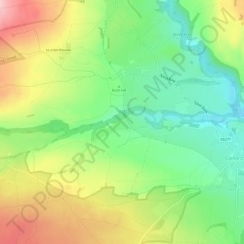
Name: River Balder topographic map, elevation, terrain.
Average elevation: 781 ft
Minimum elevation: 518 ft
Maximum elevation: 1,135 ft
Other topographic maps
Click on a map to view its topography, its elevation and its terrain.
Durham Castle
United Kingdom > England > Durham
Durham Castle, Moatside Lane, City of Durham, Durham, County Durham, North East England, England, DH1 3RB, United Kingdom
Average elevation: 230 ft
Broompark Picnic Area
United Kingdom > England > Durham
Broompark Picnic Area, Brandon and Byshottles, Durham, County Durham, North East England, England, United Kingdom
Average elevation: 308 ft
River Gaunless
United Kingdom > England > Durham
River Gaunless, Durham, County Durham, North East England, England, DL13 5HU, United Kingdom
Average elevation: 633 ft