
Ghazni topographic map
Interactive map
Click on the map to display elevation.
About this map
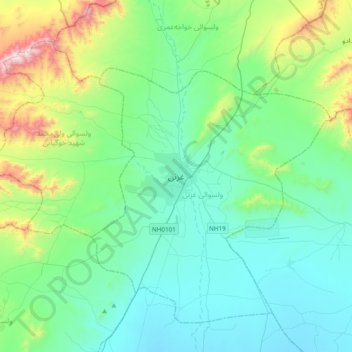
Name: Ghazni topographic map, elevation, terrain.
Location: Ghazni, Afghanistan (33.38490 68.25321 33.70490 68.57321)
Average elevation: 7,680 ft
Minimum elevation: 6,867 ft
Maximum elevation: 10,958 ft