
Mudgley topographic map
Interactive map
Click on the map to display elevation.
About this map
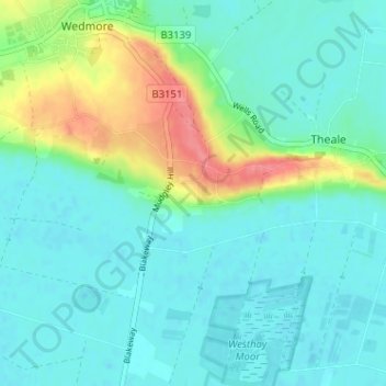
Name: Mudgley topographic map, elevation, terrain.
Location: Mudgley, Wedmore, Somerset, England, BS28 4TY, United Kingdom (51.18815 -2.81392 51.22815 -2.77392)
Average elevation: 59 ft
Minimum elevation: 0 ft
Maximum elevation: 249 ft