
Amadjuak topographic map
Interactive map
Click on the map to display elevation.
About this map
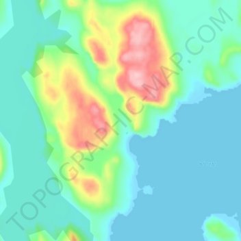
Name: Amadjuak topographic map, elevation, terrain.
Location: Amadjuak, Nunavut, Canada (64.00572 -72.66162 64.04572 -72.62162)
Average elevation: 125 ft
Minimum elevation: 0 ft
Maximum elevation: 515 ft