
Port-Gentil topographic map
Interactive map
Click on the map to display elevation.
About this map
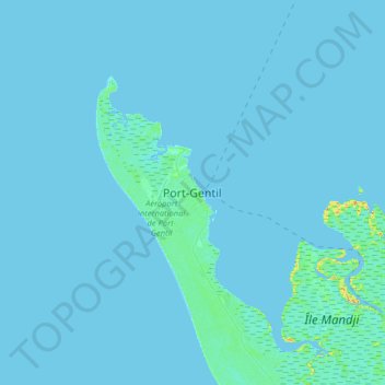
Name: Port-Gentil topographic map, elevation, terrain.
Location: Port-Gentil, Ogooué-Maritime Province, Gabon (-0.87520 8.61879 -0.55520 8.93879)
Average elevation: 3 ft
Minimum elevation: -13 ft
Maximum elevation: 98 ft
Other topographic maps
Click on a map to view its topography, its elevation and its terrain.
Cap Lopez
Gabon > Ogooué-Maritime Province > Port-Gentil
Cap Lopez, Port-Gentil, Ogooué-Maritime Province, Gabon
Average elevation: 3 ft