
Shewbird topographic map
Interactive map
Click on the map to display elevation.
About this map
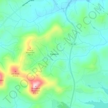
Name: Shewbird topographic map, elevation, terrain.
Location: Shewbird, Clay County, North Carolina, USA (34.98842 -83.85323 35.02842 -83.81323)
Average elevation: 2,080 ft
Minimum elevation: 1,814 ft
Maximum elevation: 2,858 ft