
Mirwart topographic map
Interactive map
Click on the map to display elevation.
About this map
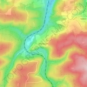
Name: Mirwart topographic map, elevation, terrain.
Location: Mirwart, Luxemburg, Wallonië, 6927, België (50.03699 5.24533 50.07699 5.28533)
Average elevation: 1,129 ft
Minimum elevation: 748 ft
Maximum elevation: 1,512 ft