
Tullis topographic map
Interactive map
Click on the map to display elevation.
About this map
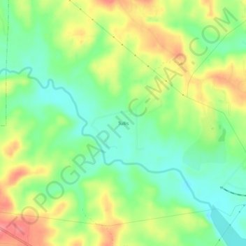
Name: Tullis topographic map, elevation, terrain.
Location: Tullis, Barbour County, Alabama, 36027, USA (31.86738 -85.20771 31.90738 -85.16771)
Average elevation: 282 ft
Minimum elevation: 164 ft
Maximum elevation: 443 ft