
Day Mountain topographic map
Interactive map
Click on the map to display elevation.
About this map
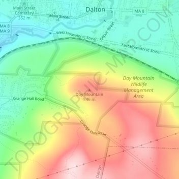
Name: Day Mountain topographic map, elevation, terrain.
Location: Day Mountain, Dalton, Berkshire, Massachusetts, 01226, USA (42.46198 -73.16126 42.46208 -73.16116)
Average elevation: 1,444 ft
Minimum elevation: 1,033 ft
Maximum elevation: 1,969 ft