
Gannavaram topographic map
Interactive map
Click on the map to display elevation.
About this map
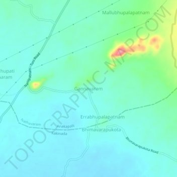
Name: Gannavaram topographic map, elevation, terrain.
Location: Gannavaram, Visakhapatnam, Andhra Pradesh, India (17.49159 82.50349 17.53159 82.54349)
Average elevation: 200 ft
Minimum elevation: 135 ft
Maximum elevation: 479 ft