
Blaton topographic map
Interactive map
Click on the map to display elevation.
About this map
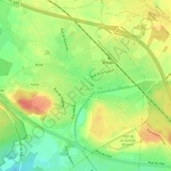
Name: Blaton topographic map, elevation, terrain.
Location: Blaton, Ath, Hainaut, Wallonie, Belgique (50.50090 3.66049 50.50111 3.66070)
Average elevation: 141 ft
Minimum elevation: 56 ft
Maximum elevation: 220 ft