
U-No topographic map
Interactive map
Click on the map to display elevation.
About this map
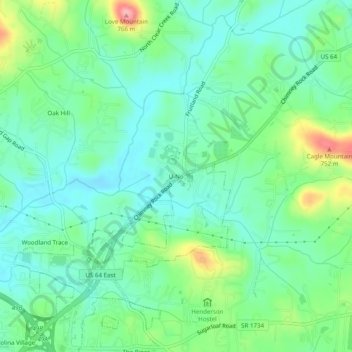
Name: U-No topographic map, elevation, terrain.
Location: U-No, Henderson County, North Carolina, 28792, United States (35.33901 -82.44123 35.37901 -82.40123)
Average elevation: 2,178 ft
Minimum elevation: 2,060 ft
Maximum elevation: 2,477 ft