
Dağ Mahallesi topographic map
Interactive map
Click on the map to display elevation.
About this map
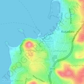
Name: Dağ Mahallesi topographic map, elevation, terrain.
Location: Dağ Mahallesi, Kuşadası, Aydın, Aegean Region, Turkey (37.85849 27.25482 37.86116 27.25822)
Average elevation: 89 ft
Minimum elevation: -7 ft
Maximum elevation: 354 ft