
Paulínia topographic map
Interactive map
Click on the map to display elevation.
About this map
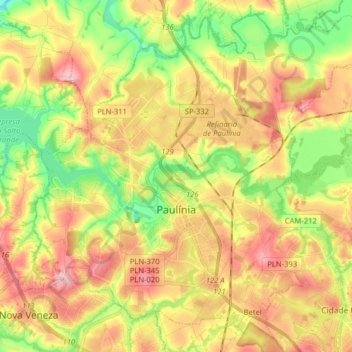
Name: Paulínia topographic map, elevation, terrain.
Average elevation: 1,916 ft
Minimum elevation: 1,673 ft
Maximum elevation: 2,156 ft
Paulínia is a municipality in the state of São Paulo in Brazil. It is part of the São Paulo Macrometropolis. The population is 112,003 (2020 est.) in an area of 138.78 km². The elevation is 590 m. It is known for hosting the Replan, the largest refinery of Petrobras.