
Sanggye-dong topographic map
Interactive map
Click on the map to display elevation.
About this map
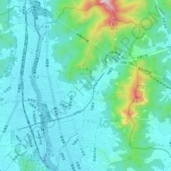
Name: Sanggye-dong topographic map, elevation, terrain.
Location: Sanggye-dong, Seoul, Nowon-gu, South Korea (37.63748 127.04881 37.69727 127.09645)
Average elevation: 358 ft
Minimum elevation: 49 ft
Maximum elevation: 1,946 ft