
Bone Gap topographic map
Interactive map
Click on the map to display elevation.
About this map
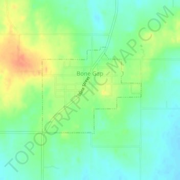
Name: Bone Gap topographic map, elevation, terrain.
Location: Bone Gap, Edwards County, Illinois, United States (38.43853 -88.00503 38.45149 -87.98604)
Average elevation: 456 ft
Minimum elevation: 404 ft
Maximum elevation: 538 ft