
Calpine topographic map
Interactive map
Click on the map to display elevation.
About this map
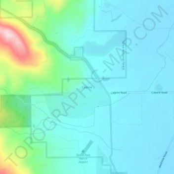
Name: Calpine topographic map, elevation, terrain.
Location: Calpine, Sierra County, California, 96124, United States (39.64629 -120.45966 39.68629 -120.41966)
Average elevation: 5,089 ft
Minimum elevation: 4,908 ft
Maximum elevation: 5,899 ft