
LaBelle topographic map
Interactive map
Click on the map to display elevation.
About this map
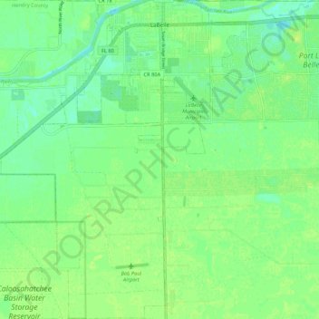
Name: LaBelle topographic map, elevation, terrain.
Location: LaBelle, Hendry County, Florida, United States (26.67406 -81.49148 26.76886 -81.40966)
Average elevation: 26 ft
Minimum elevation: 0 ft
Maximum elevation: 49 ft
Other topographic maps
Click on a map to view its topography, its elevation and its terrain.
Felda
United States > Florida > Hendry County > Felda
Felda, Hendry County, Florida, 33930, United States
Average elevation: 39 ft