
Pals topographic map
Interactive map
Click on the map to display elevation.
About this map
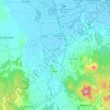
Name: Pals topographic map, elevation, terrain.
Location: Pals, Lower Empordà, Girona, Catalonia, Spain (41.94975 3.13471 42.01050 3.20749)
Average elevation: 108 ft
Minimum elevation: -10 ft
Maximum elevation: 696 ft