
Gantt topographic map
Interactive map
Click on the map to display elevation.
About this map
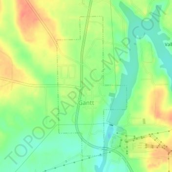
Name: Gantt topographic map, elevation, terrain.
Location: Gantt, Covington County, Alabama, United States of America (31.39857 -86.48959 31.42029 -86.47671)
Average elevation: 240 ft
Minimum elevation: 164 ft
Maximum elevation: 322 ft