
Saint Cloud topographic map
Interactive map
Click on the map to display elevation.
About this map
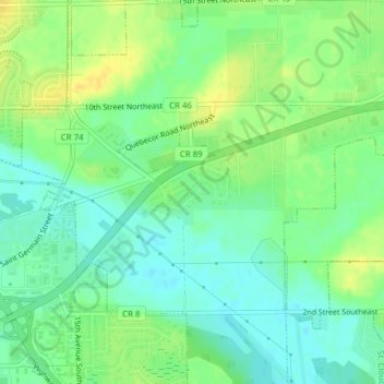
Name: Saint Cloud topographic map, elevation, terrain.
Location: Saint Cloud, Benton County, Minnesota, United States (45.57324 -94.12543 45.57685 -94.11635)
Average elevation: 1,047 ft
Minimum elevation: 1,010 ft
Maximum elevation: 1,093 ft