
Trout topographic map
Interactive map
Click on the map to display elevation.
About this map
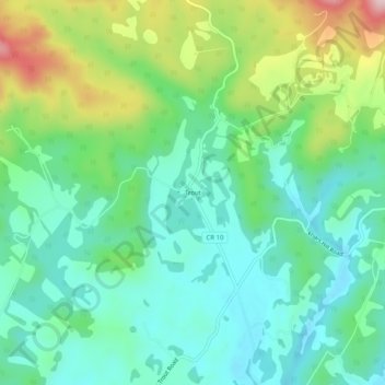
Name: Trout topographic map, elevation, terrain.
Location: Trout, Greenbrier County, West Virginia, United States (37.99679 -80.48786 38.03679 -80.44786)
Average elevation: 2,418 ft
Minimum elevation: 2,129 ft
Maximum elevation: 3,107 ft