
Garfield topographic map
Interactive map
Click on the map to display elevation.
About this map
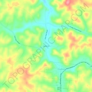
Name: Garfield topographic map, elevation, terrain.
Location: Garfield, Jackson County, Ohio, 45621, United States (39.10368 -82.63989 39.14368 -82.59989)
Average elevation: 807 ft
Minimum elevation: 656 ft
Maximum elevation: 991 ft