
Galesburg topographic map
Interactive map
Click on the map to display elevation.
About this map
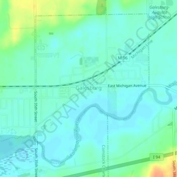
Name: Galesburg topographic map, elevation, terrain.
Location: Galesburg, Kalamazoo County, Michigan, United States (42.27709 -85.42909 42.29990 -85.40393)
Average elevation: 807 ft
Minimum elevation: 774 ft
Maximum elevation: 902 ft