
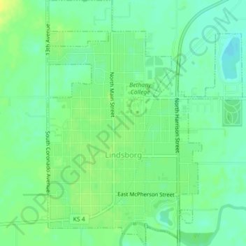
Lindsborg topographic map
Interactive map
Click on the map to display elevation.
About this map
Name: Lindsborg topographic map, elevation, terrain.
Location: Lindsborg, McPherson County, Kansas, United States (38.56337 -97.68539 38.59087 -97.65747)
Average elevation: 1,335 ft
Minimum elevation: 1,306 ft
Maximum elevation: 1,368 ft