
Santa Anna topographic map
Interactive map
Click on the map to display elevation.
About this map
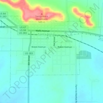
Name: Santa Anna topographic map, elevation, terrain.
Location: Santa Anna, Coleman County, Texas, United States (31.72478 -99.34138 31.74701 -99.30392)
Average elevation: 1,742 ft
Minimum elevation: 1,663 ft
Maximum elevation: 1,985 ft