
Winfield topographic map
Interactive map
Click on the map to display elevation.
About this map
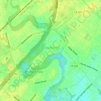
Name: Winfield topographic map, elevation, terrain.
Location: Winfield, Union County, New Jersey, United States (40.62871 -74.29713 40.63993 -74.28374)
Average elevation: 62 ft
Minimum elevation: 20 ft
Maximum elevation: 95 ft