
Stinnett topographic map
Interactive map
Click on the map to display elevation.
About this map
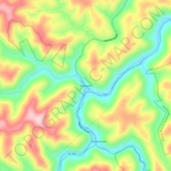
Name: Stinnett topographic map, elevation, terrain.
Location: Stinnett, Leslie County, Kentucky, 40868, United States (37.07037 -83.41546 37.11037 -83.37546)
Average elevation: 1,322 ft
Minimum elevation: 879 ft
Maximum elevation: 1,844 ft