
Indain Dan Canyon Dam topographic map
Interactive map
Click on the map to display elevation.
About this map
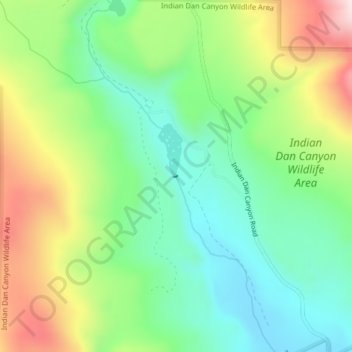
Name: Indain Dan Canyon Dam topographic map, elevation, terrain.
Average elevation: 1,834 ft
Minimum elevation: 1,329 ft
Maximum elevation: 2,710 ft
Other topographic maps
Click on a map to view its topography, its elevation and its terrain.
Sherman Peak
United States > Washington > Okanogan County
Sherman Peak, Okanogan County, Washington, United States
Average elevation: 6,647 ft