
Lancaster topographic map
Interactive map
Click on the map to display elevation.
About this map
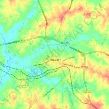
Name: Lancaster topographic map, elevation, terrain.
Average elevation: 512 ft
Minimum elevation: 430 ft
Maximum elevation: 607 ft
Other topographic maps
Click on a map to view its topography, its elevation and its terrain.
Andrew Jackson State Park
United States > South Carolina > Lancaster County > Lancaster
Andrew Jackson State Park, 196, Lancaster, Lancaster County, South Carolina, 29720, United States
Average elevation: 541 ft