
Upland topographic map
Interactive map
Click on the map to display elevation.
About this map
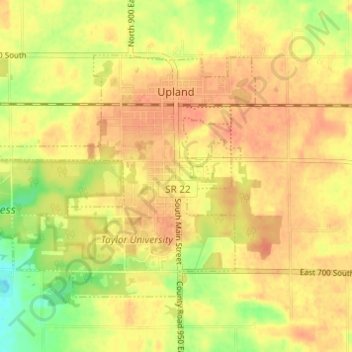
Name: Upland topographic map, elevation, terrain.
Location: Upland, Grant County, Indiana, United States (40.44847 -85.54168 40.48039 -85.48063)
Average elevation: 912 ft
Minimum elevation: 820 ft
Maximum elevation: 955 ft