
Blanefield topographic map
Interactive map
Click on the map to display elevation.
About this map
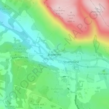
Name: Blanefield topographic map, elevation, terrain.
Location: Blanefield, Stirling, Scotland, G63 9HZ, United Kingdom (55.96824 -4.33719 56.00824 -4.29719)
Average elevation: 594 ft
Minimum elevation: 89 ft
Maximum elevation: 1,670 ft