
Roselle Park topographic map
Interactive map
Click on the map to display elevation.
About this map
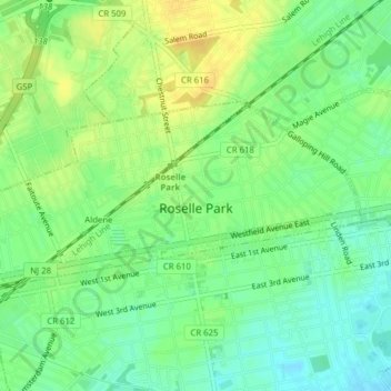
Name: Roselle Park topographic map, elevation, terrain.
Location: Roselle Park, Union County, New Jersey, 07204, United States (40.65808 -74.28567 40.67239 -74.24665)
Average elevation: 82 ft
Minimum elevation: 39 ft
Maximum elevation: 128 ft