
Tanggula Mountains topographic map
Interactive map
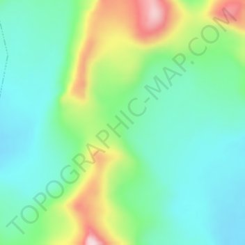
Click on the map to display elevation.
About this map
Name: Tanggula Mountains topographic map, elevation, terrain.
Average elevation: 19,396 ft
Minimum elevation: 19,065 ft
Maximum elevation: 20,174 ft
The elevations of the main ridge average more than 5,000 m (16,404 ft). The Yangtze River originates in this mountain range; Geladandong, 6,621 metres or 21,722 feet high, located in Tanggula Town, is the tallest peak in the range.