
Enniscorthy topographic map
Interactive map
Click on the map to display elevation.
About this map
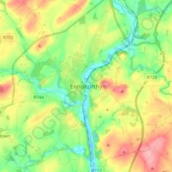
Name: Enniscorthy topographic map, elevation, terrain.
Location: Enniscorthy, County Wexford, Leinster, Y21 D560, Ireland (52.46115 -6.60749 52.54115 -6.52749)
Average elevation: 144 ft
Minimum elevation: -20 ft
Maximum elevation: 351 ft