
Salvatierra topographic map
Interactive map
Click on the map to display elevation.
About this map
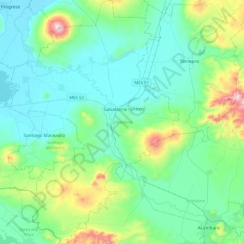
Name: Salvatierra topographic map, elevation, terrain.
Location: Salvatierra, Guanajuato, Mexico (20.00406 -101.05185 20.38116 -100.77251)
Average elevation: 6,329 ft
Minimum elevation: 5,656 ft
Maximum elevation: 9,298 ft