
Yeşilköy topographic map
Interactive map
Click on the map to display elevation.
About this map
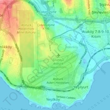
Name: Yeşilköy topographic map, elevation, terrain.
Location: Yeşilköy, Bakırköy, Istanbul, Marmara Region, 34149, Turkey (40.95452 28.79704 41.00061 28.85145)
Average elevation: 72 ft
Minimum elevation: -10 ft
Maximum elevation: 246 ft