
Puerto Escondido topographic map
Interactive map
Click on the map to display elevation.
About this map
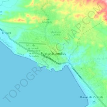
Name: Puerto Escondido topographic map, elevation, terrain.
Location: Puerto Escondido, San Pedro Mixtepec, Oaxaca, 71800, Mexico (15.82933 -97.11264 15.90933 -97.03264)
Average elevation: 171 ft
Minimum elevation: -3 ft
Maximum elevation: 886 ft